


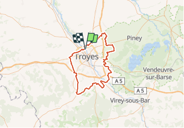
Autour de Troyes

DaVinci
User

Length
97 km

Max alt
219 m

Uphill gradient
794 m
Km-Effort
108 km

Min alt
95 m

Downhill gradient
795 m
Boucle
Yes
Creation date :
2023-07-08 11:35:15.878
Updated on :
2023-07-08 16:17:00.331
4h40
Difficulty : Easy

FREE GPS app for hiking
 SityTrail
IGN / Geographical institutes
SityTrail Plus
The world is yours!
About
Trail Moto cross of 97 km to be discovered at Grand Est, Aube, La Chapelle-Saint-Luc. This trail is proposed by DaVinci.
Positioning
Country:
France
Region :
Grand Est
Department/Province :
Aube
Municipality :
La Chapelle-Saint-Luc
Location:
Unknown
Start:(Dec)
Start:(UTM)
579434 ; 5352520 (31U) N.
Comments